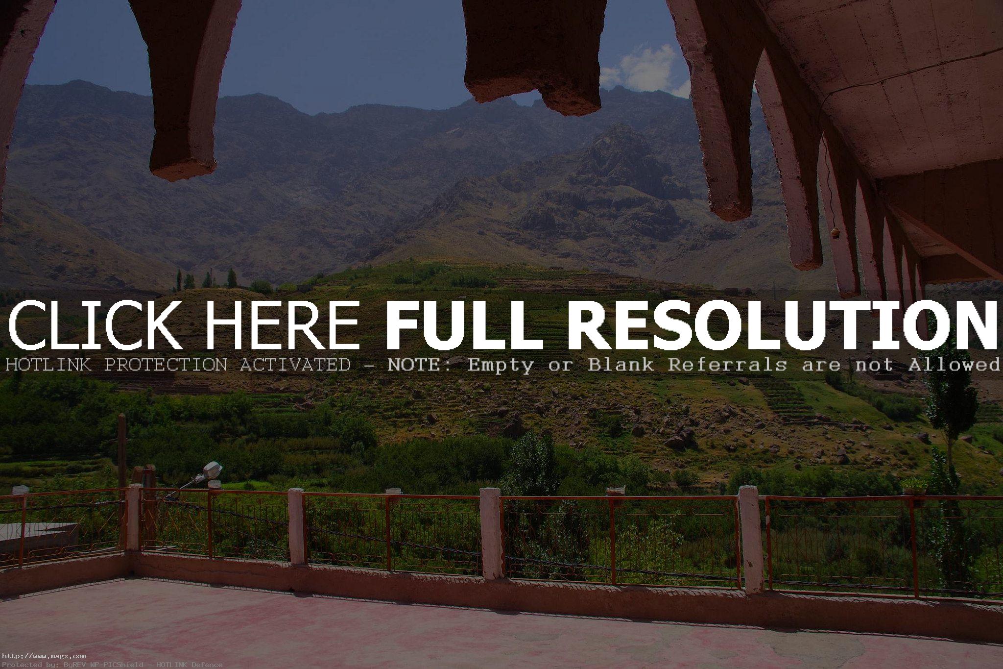
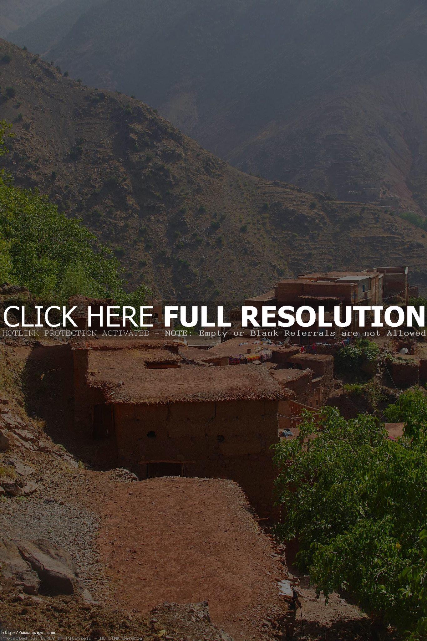
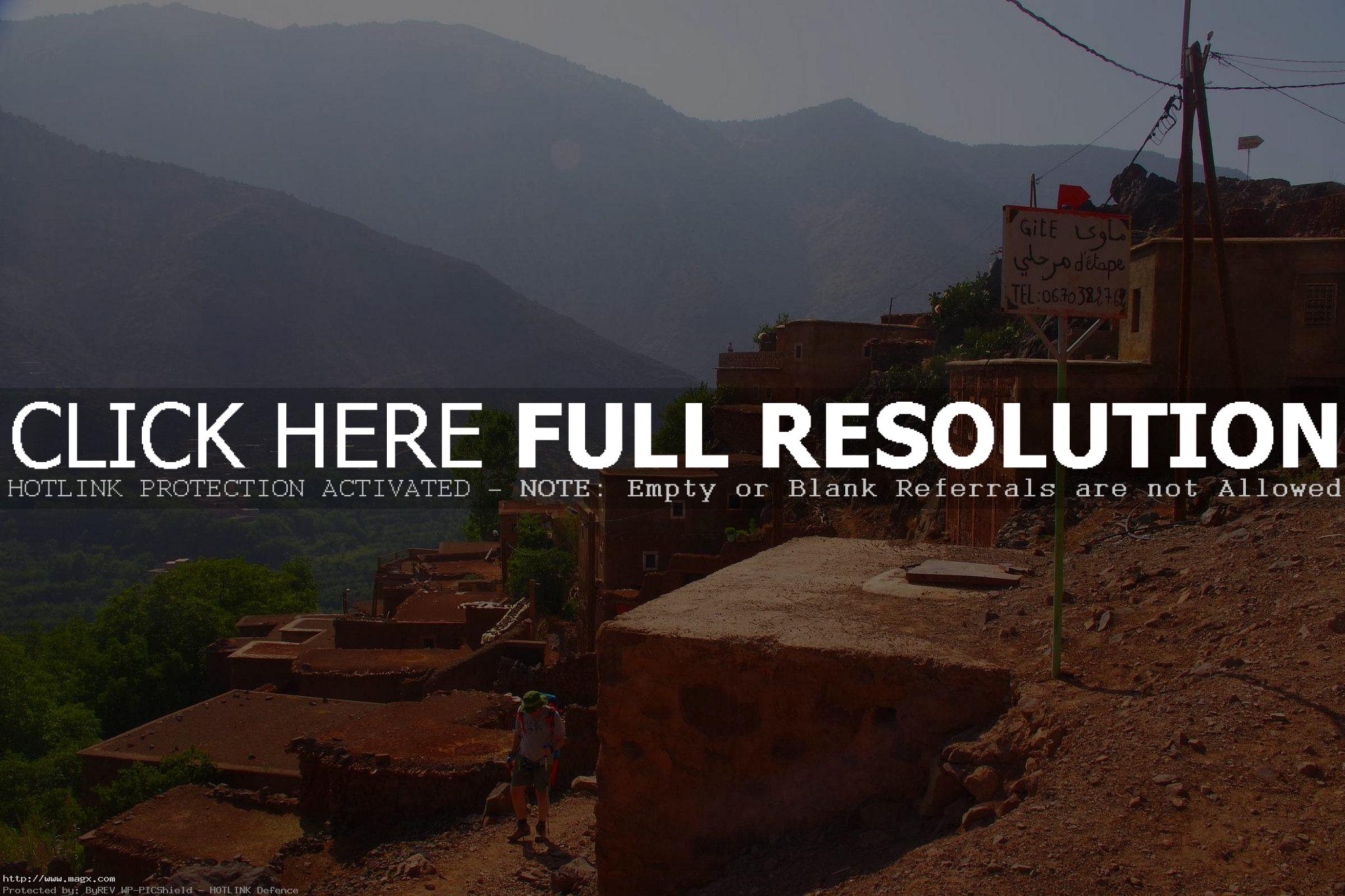
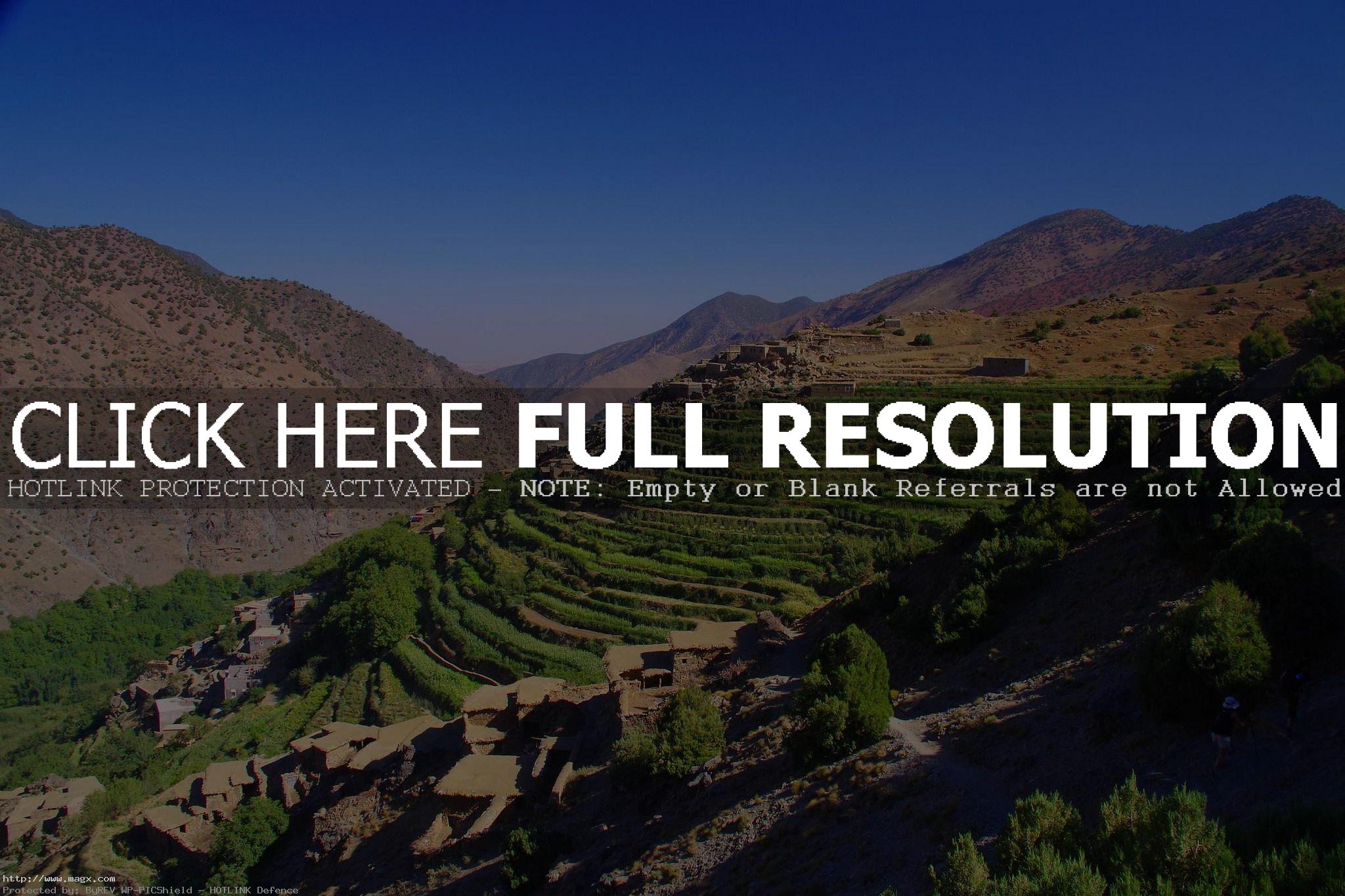
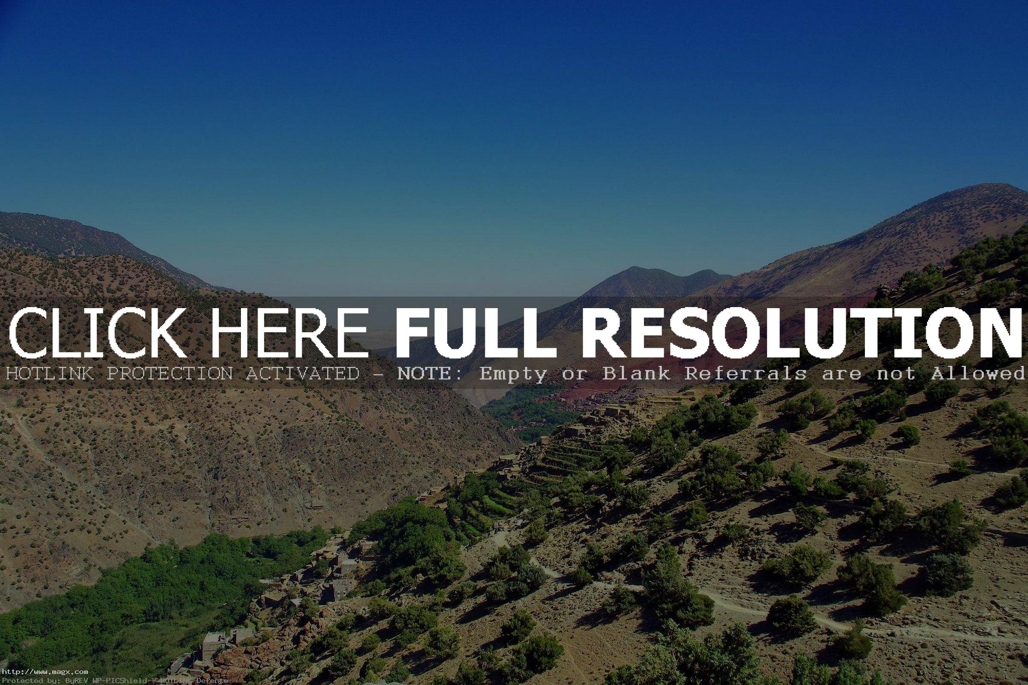
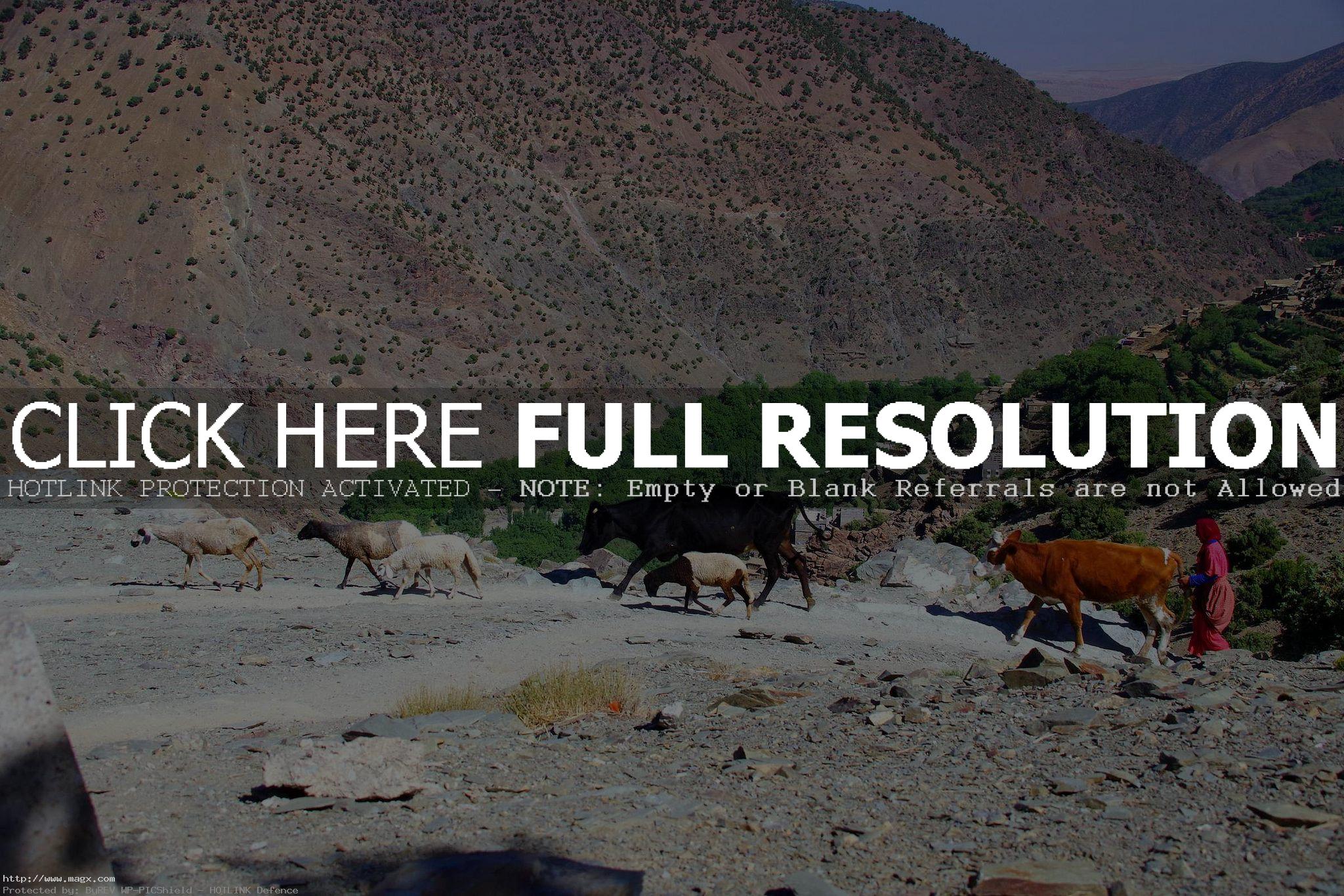
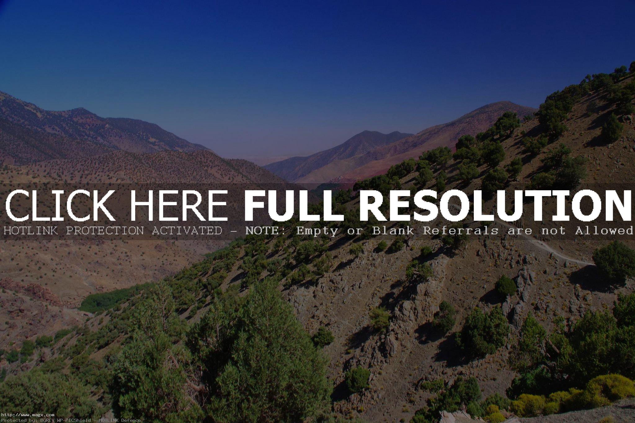
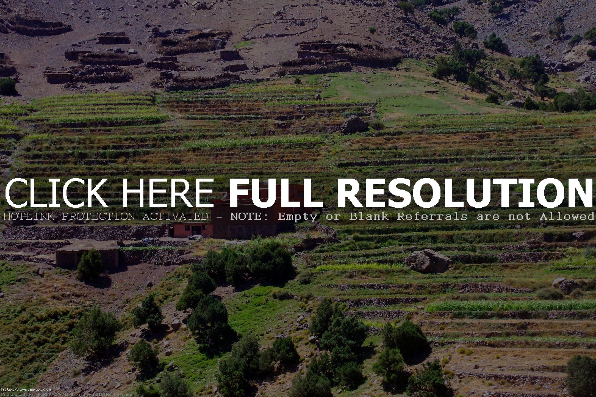
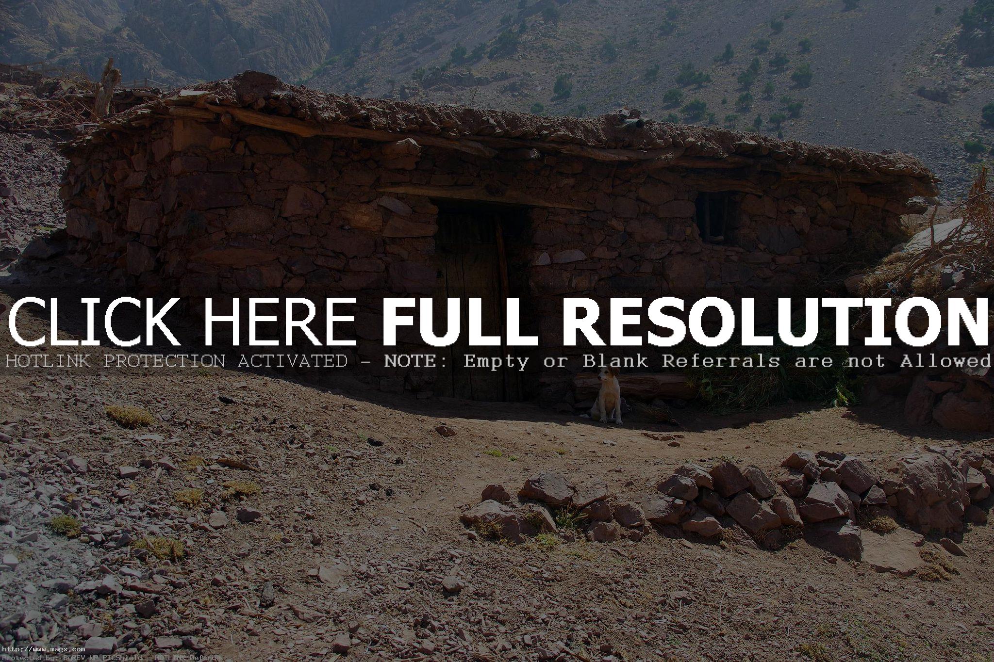
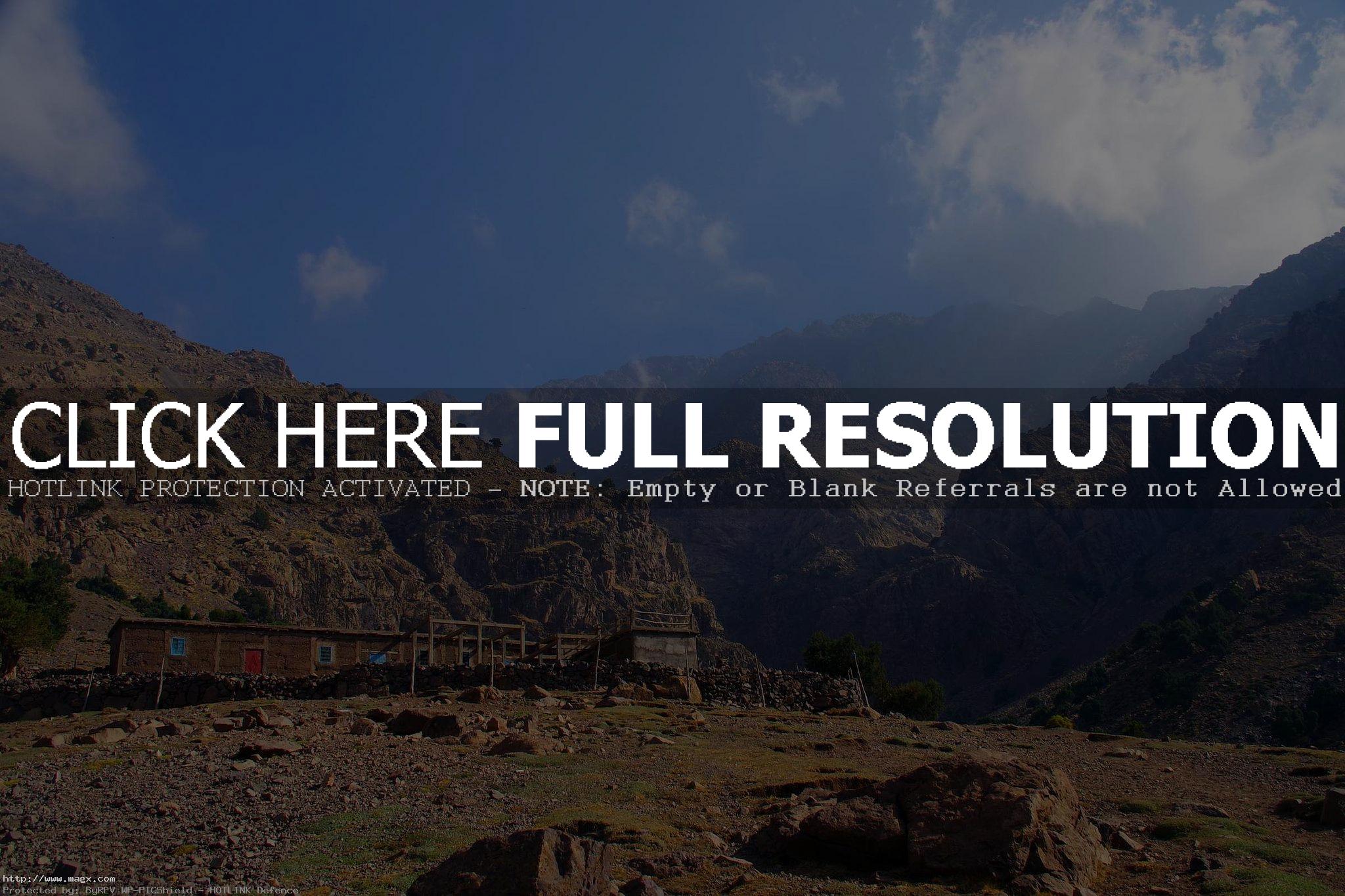
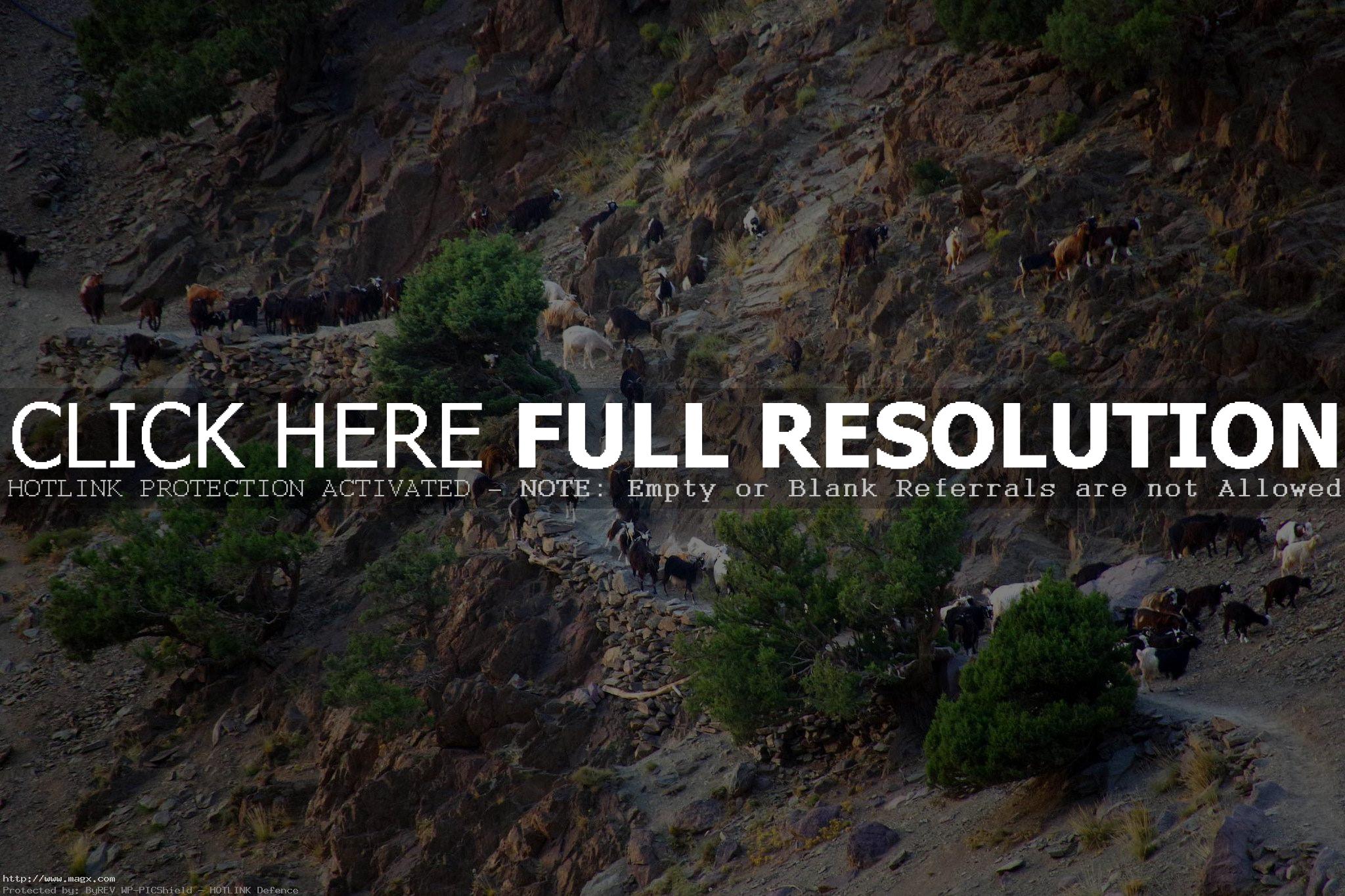
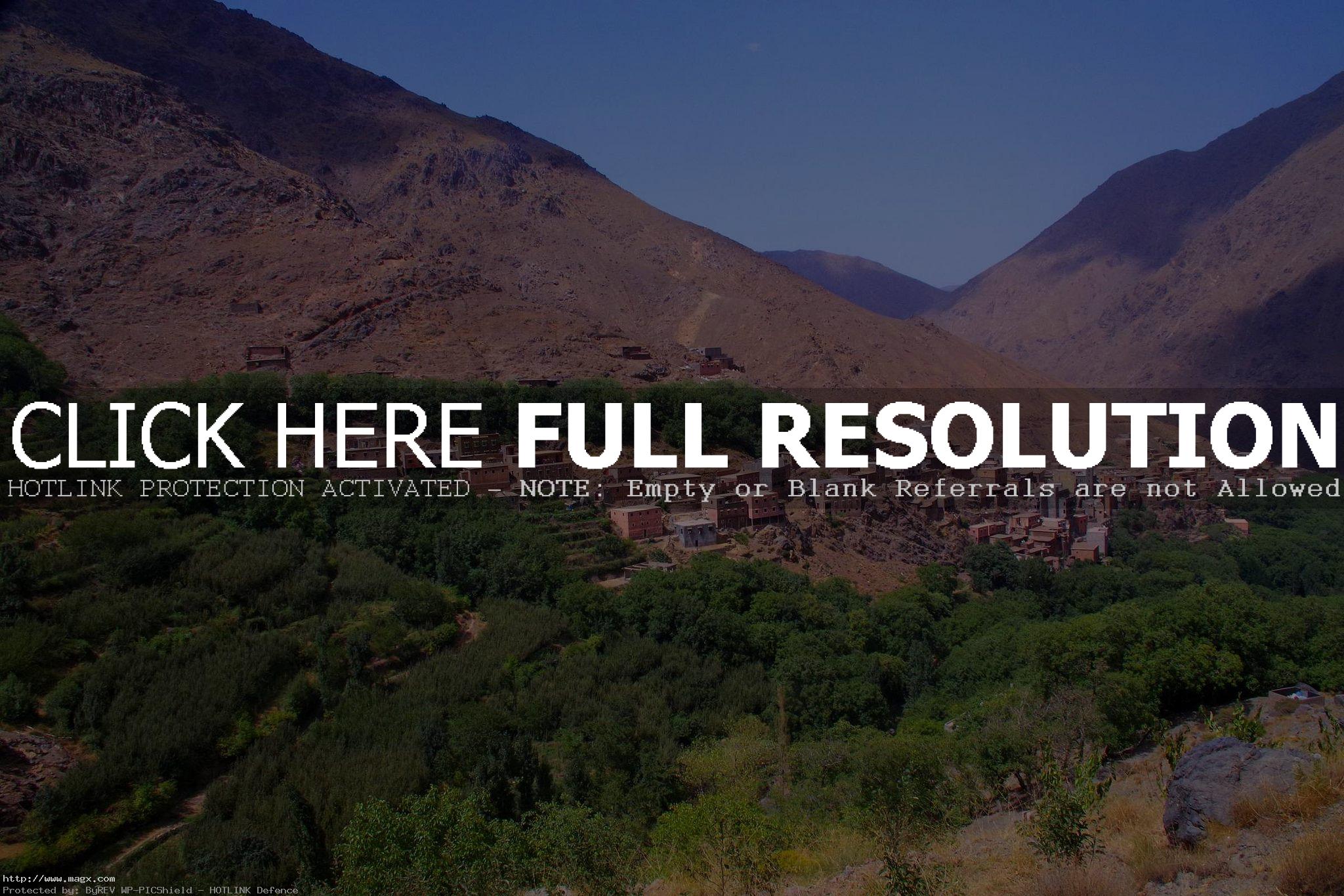
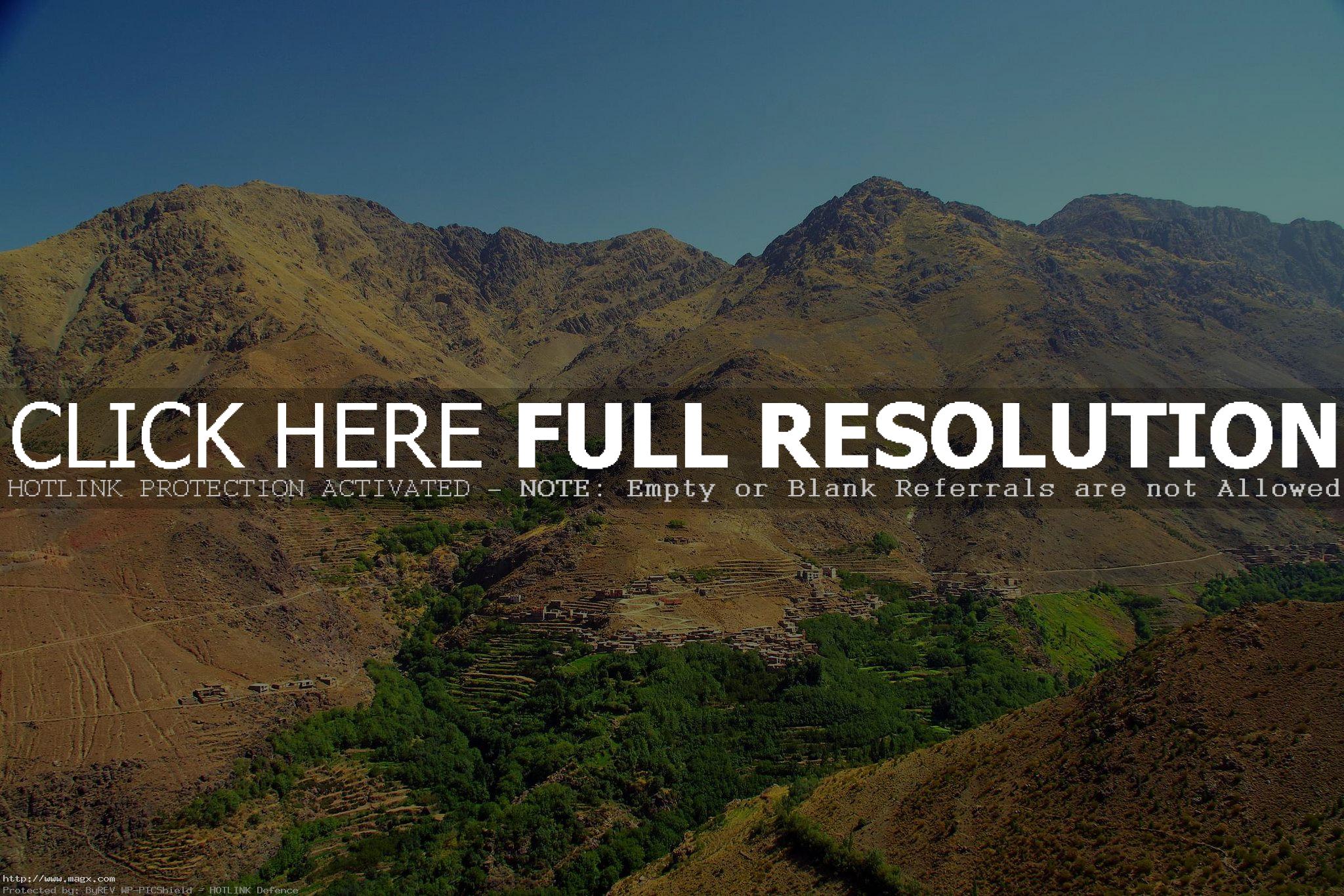
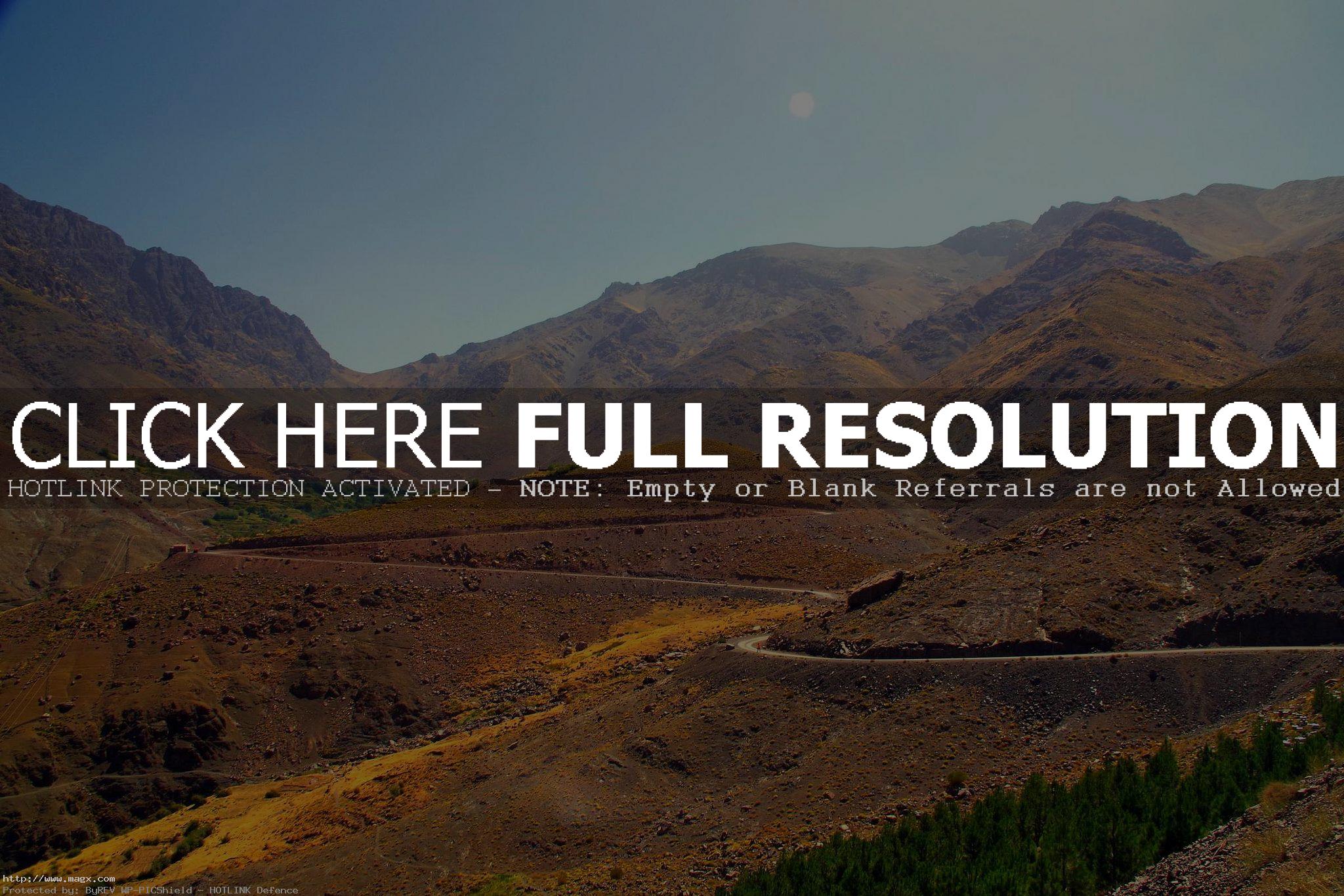
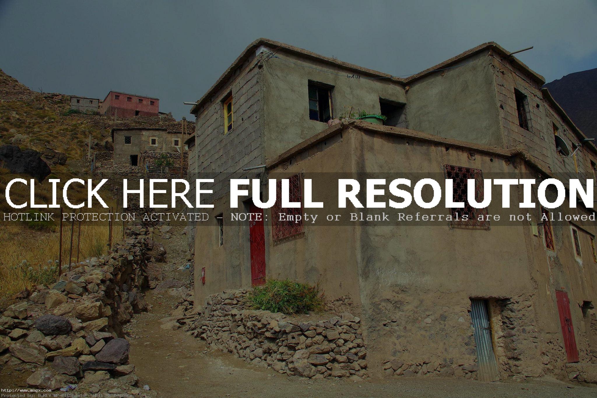
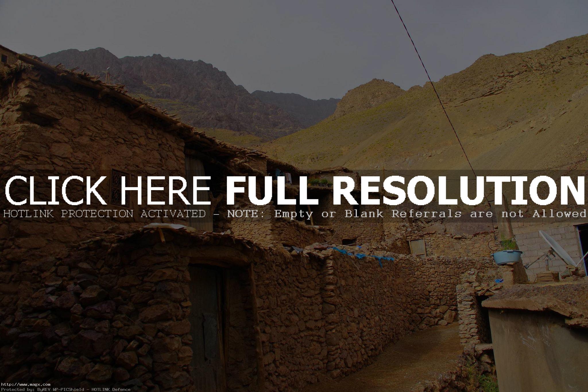
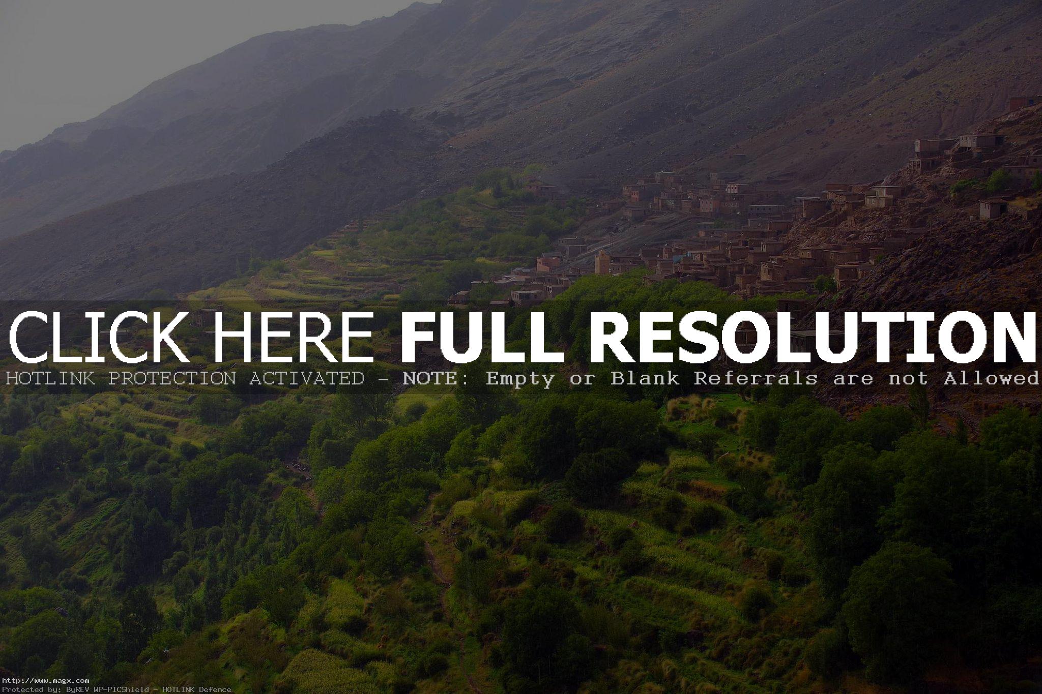
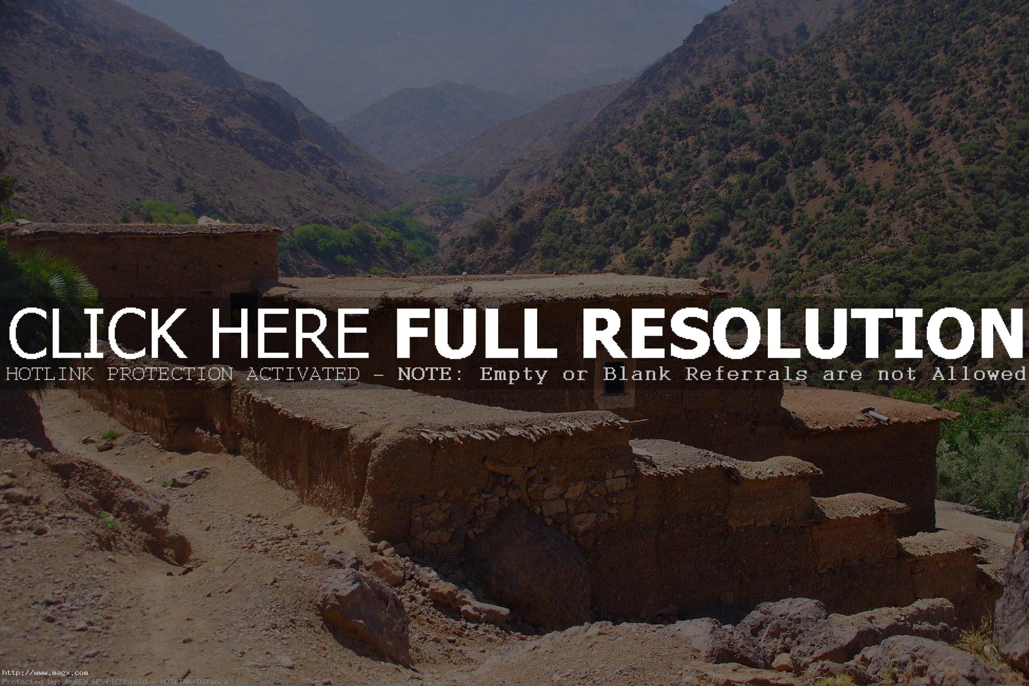
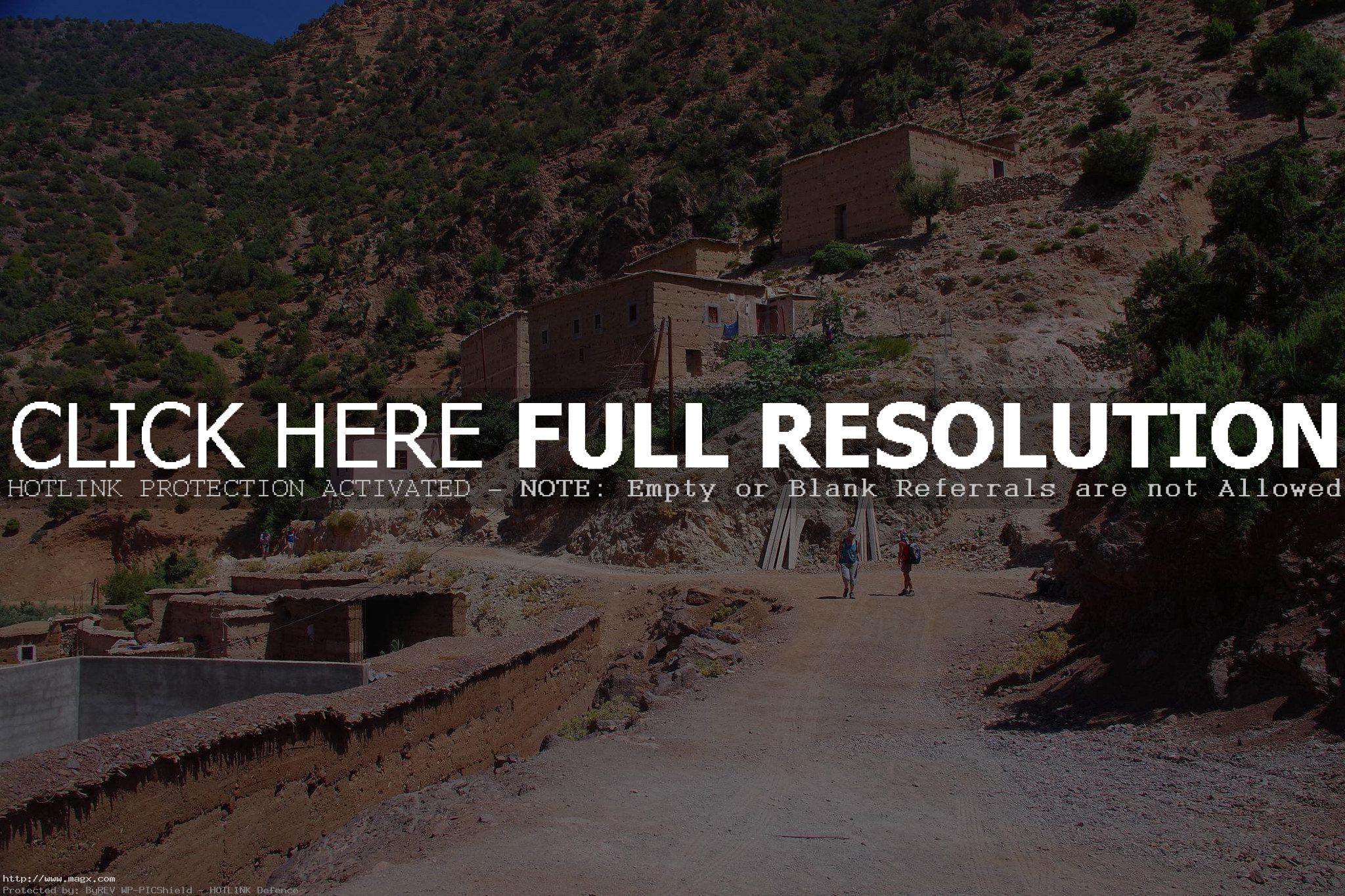
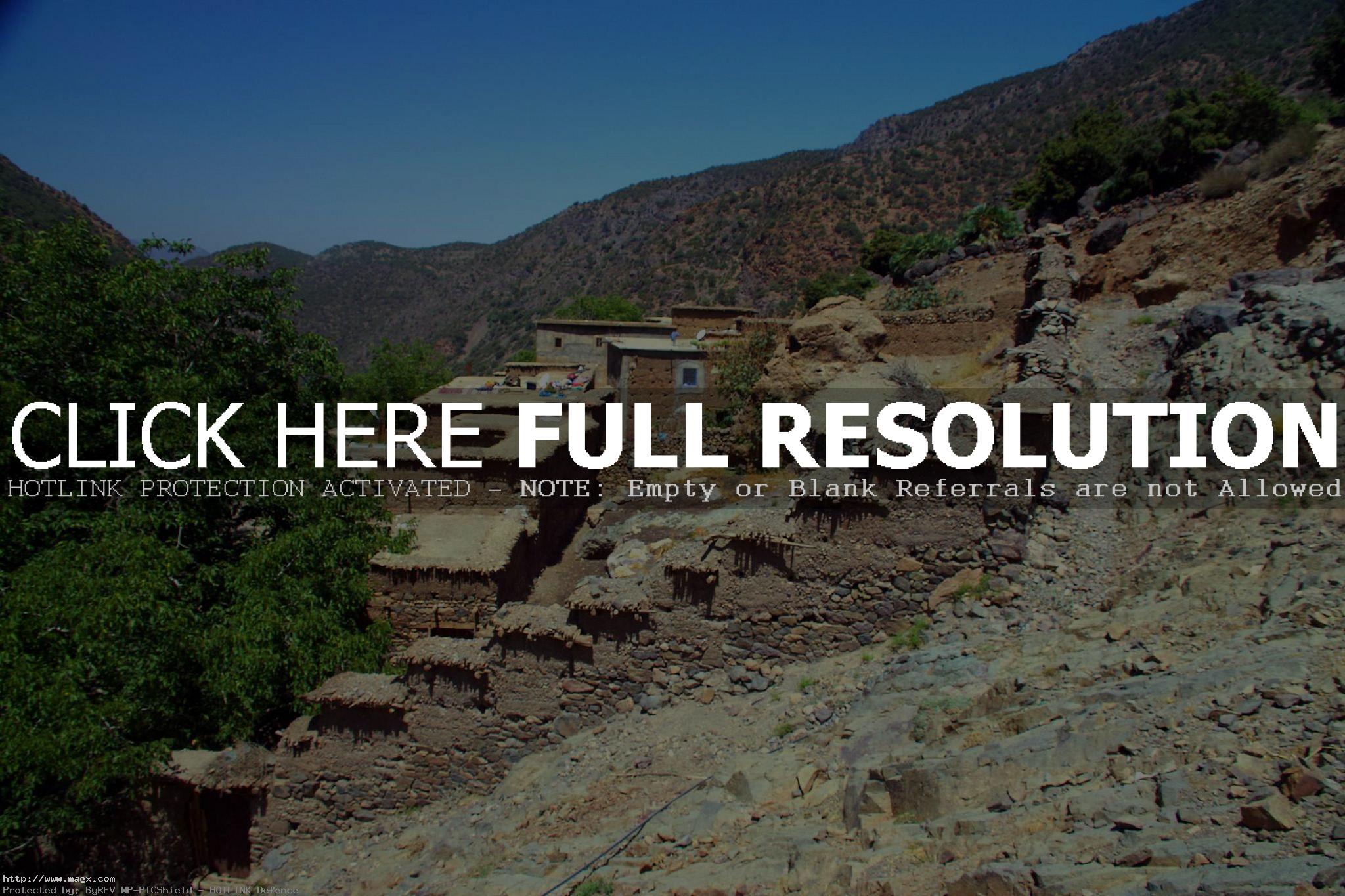
Toubkal is a mountain peak in southwestern Morocco, located in the Toubkal National Park. At 4,167 metres, it is the highest peak in the Atlas Mountains, Anti Atlas, North Africa and the Arab World. The Toubkal Massif, enclosing the High Atlas’s highest peaks, is the target destination of nearly everyone who goes trekking in Morocco. Mountain villages offer a stark contrast to the previous roadside towns, with Berber houses, stacked one on top of another in apparently organic growth, appearing to sprout from the rocks. The local population is immediately distinct from their city compatriots; the women dress in brilliant attire even when working in the fields.






credit: Coemgenus1985
Tags: hiking, jebel toubkal, massif-toubkal, Morocco, near, Toubkal, Trekking, Tubkal, Valley, Valleys, Village
Relevant Articles
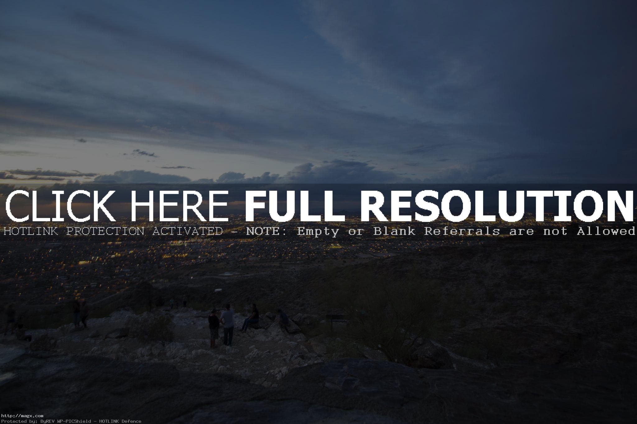
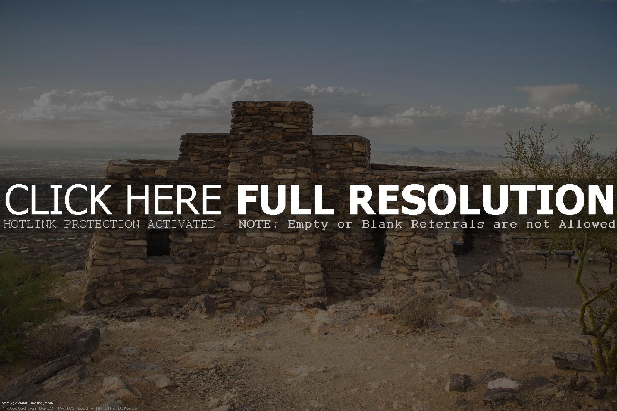
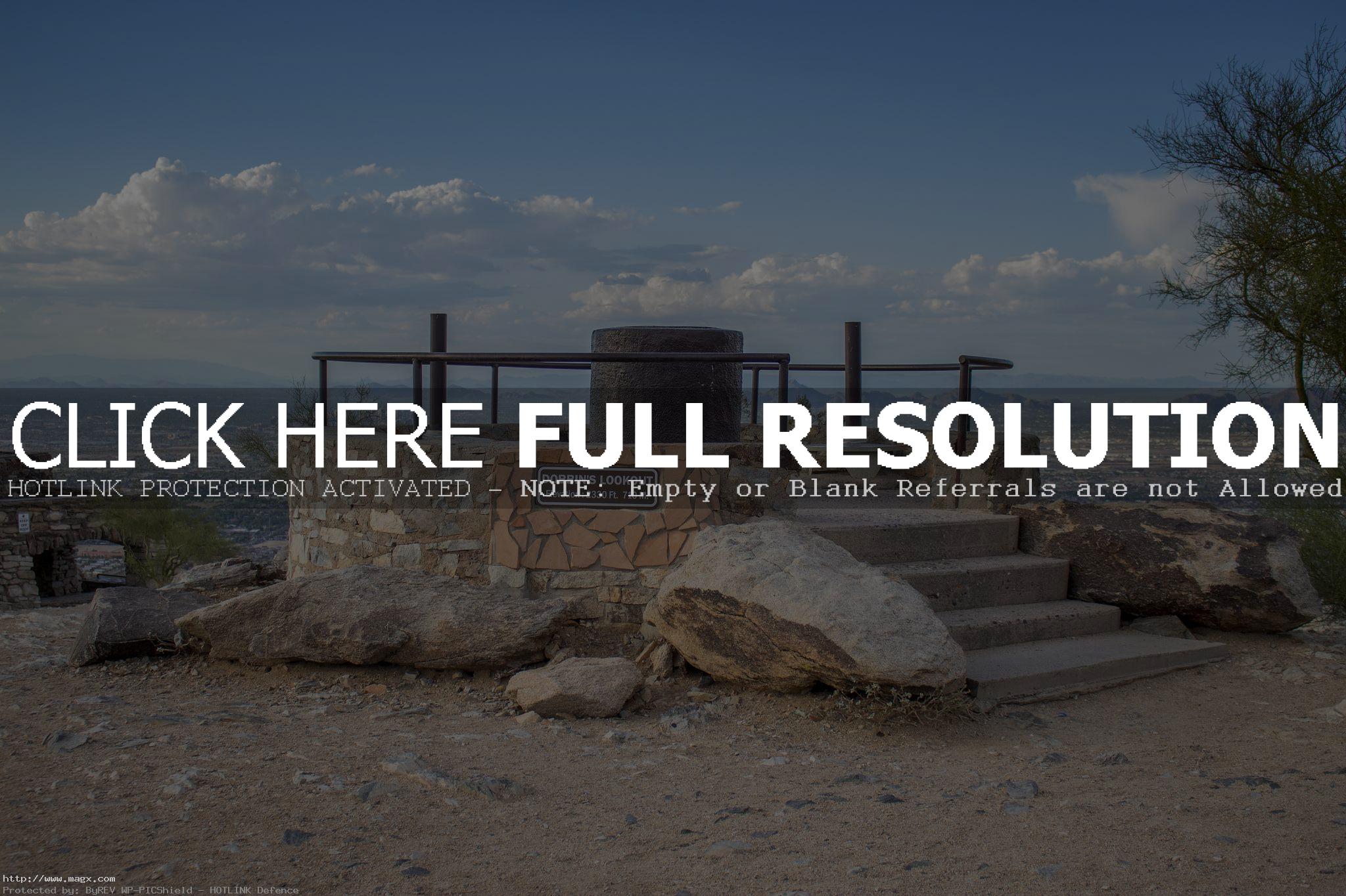
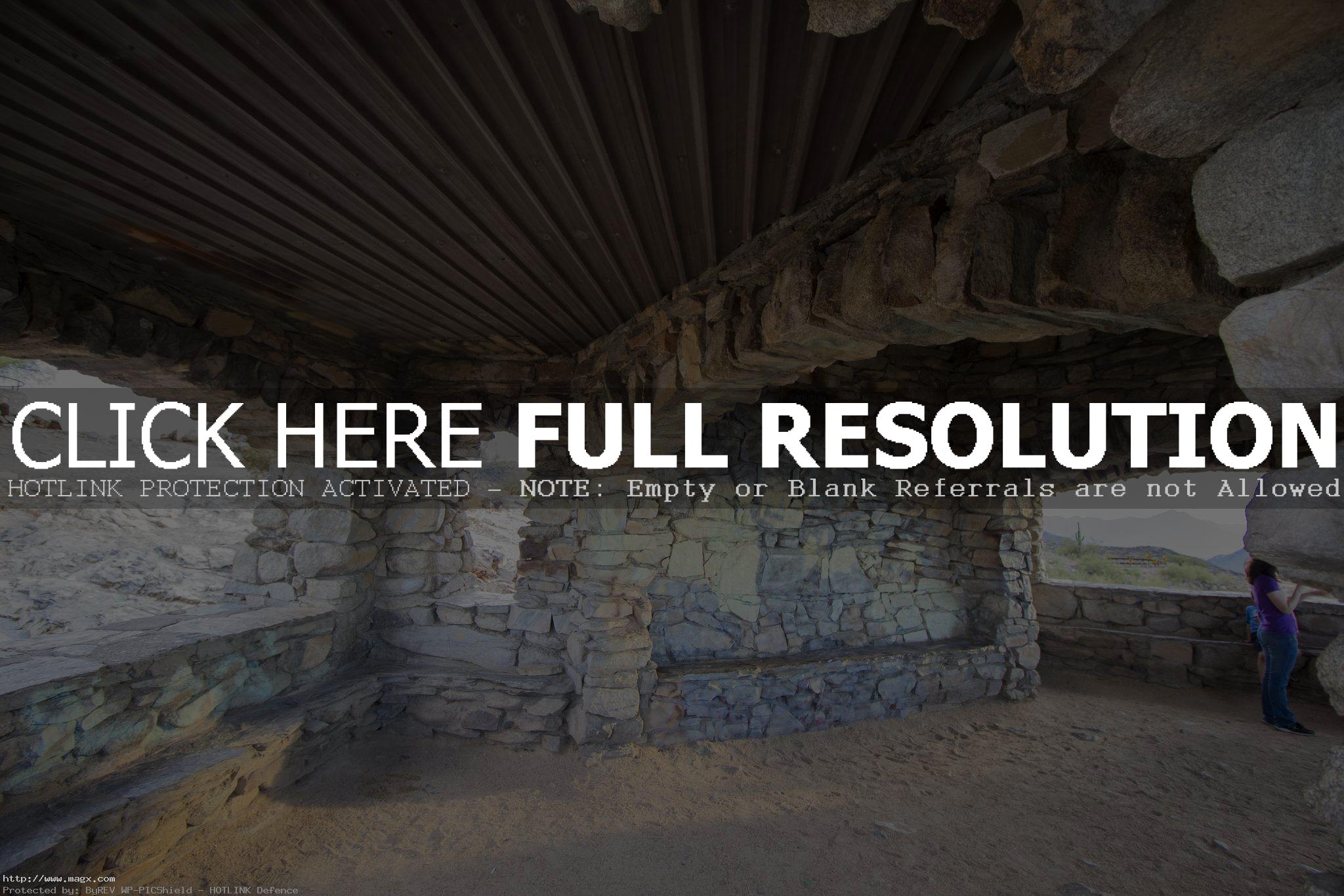
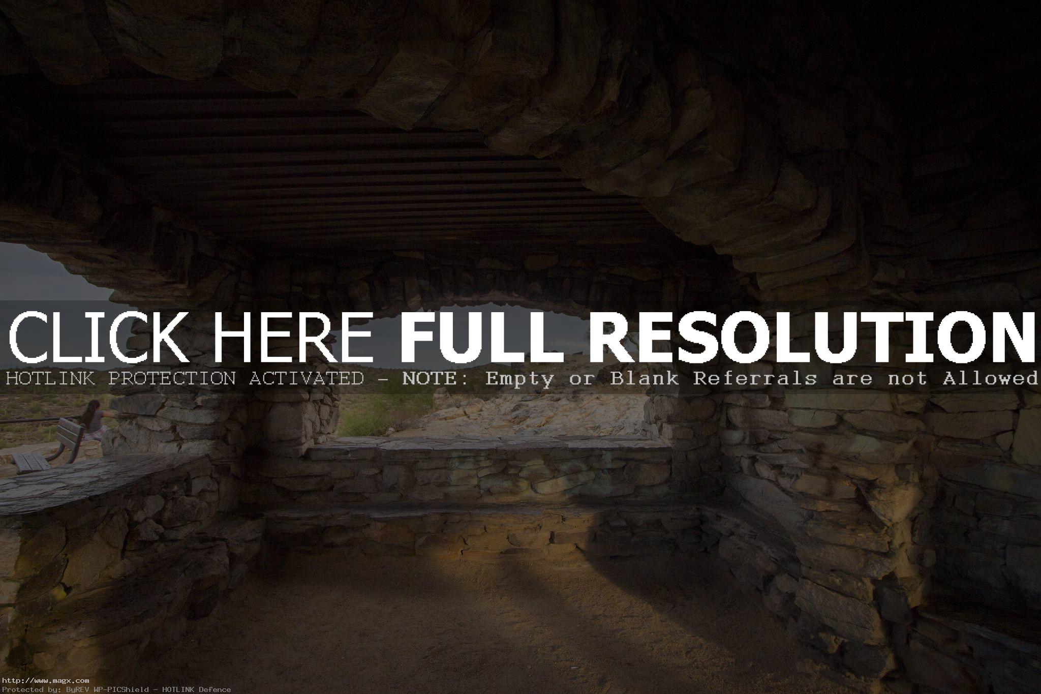
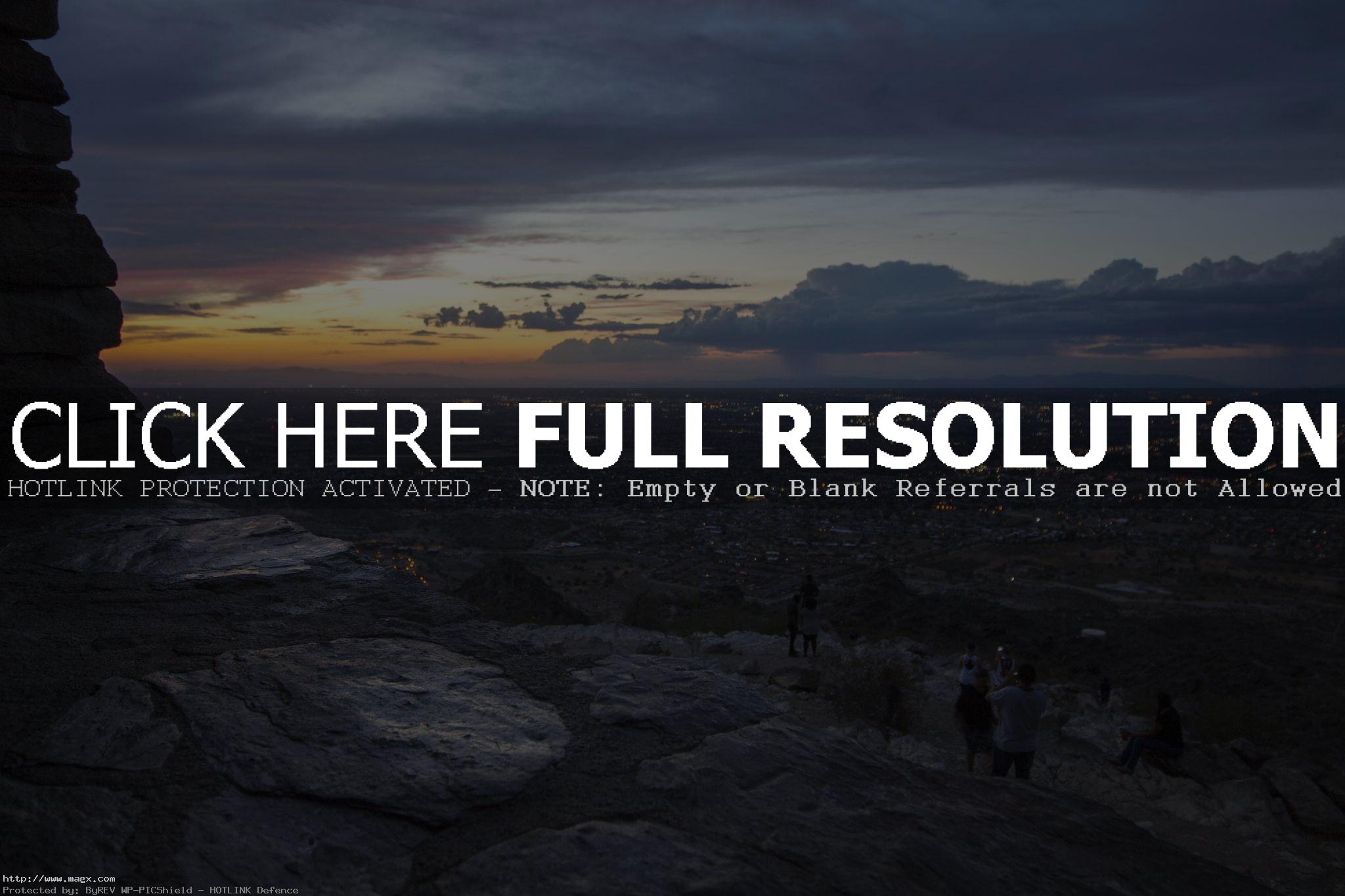
Dobbins Lookout is located on South Mountain. It is one of the most recognizable mountains in Phoenix. South Mountain Park is known for its excellent hiking trails. The park is open to the public with no entrance fees The viewing area at Dobbins Lookout is at 2,330 feet; the highest public access point in the park.




credit: etzel42
Tags: AZ, Dobbins, dobbins lookout, hiking, Lookout, Mountain, Phoenix, Ruins, Sonoran Desert, South, south mountain, trails, viewpoints
Relevant Articles
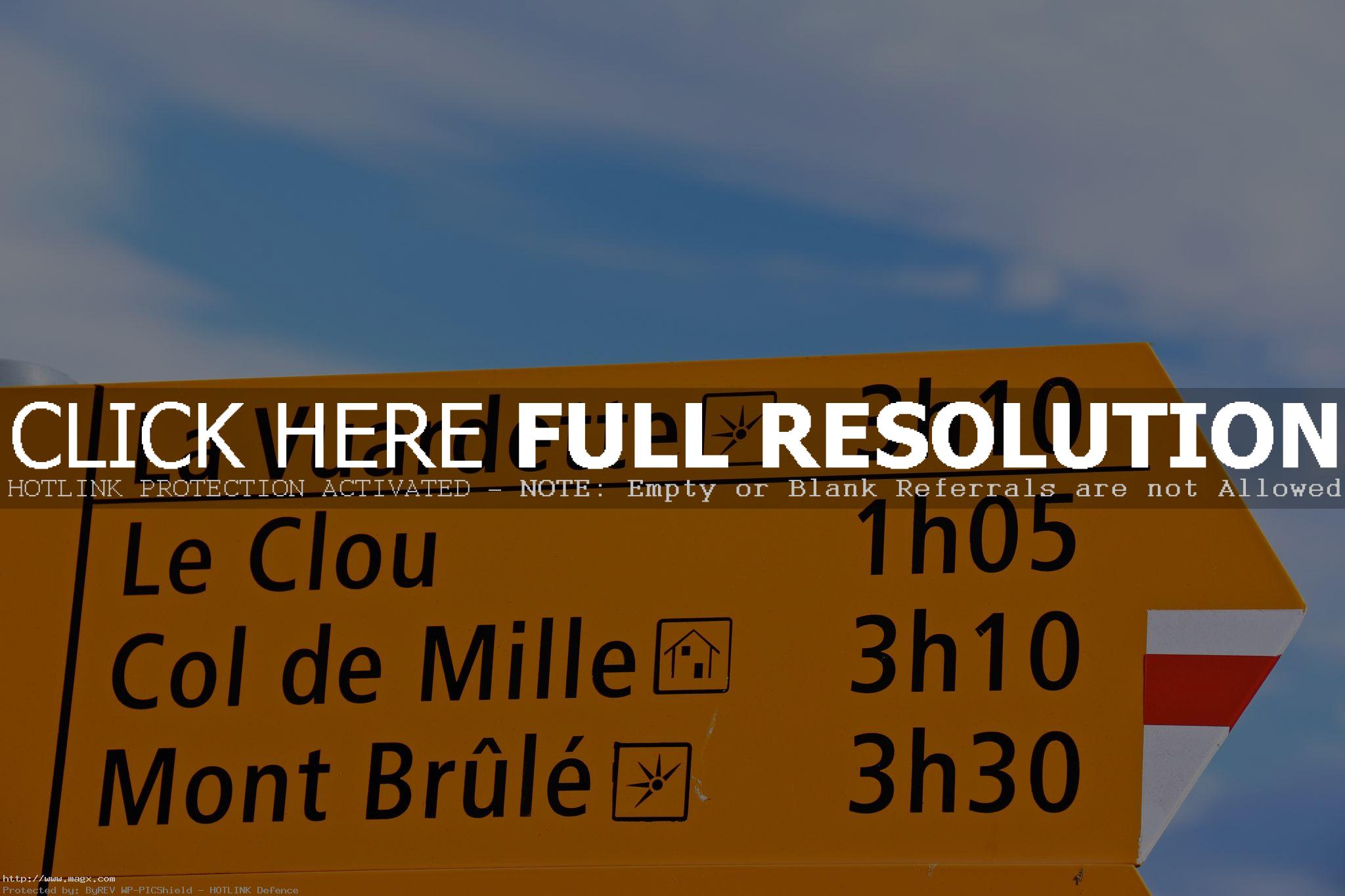
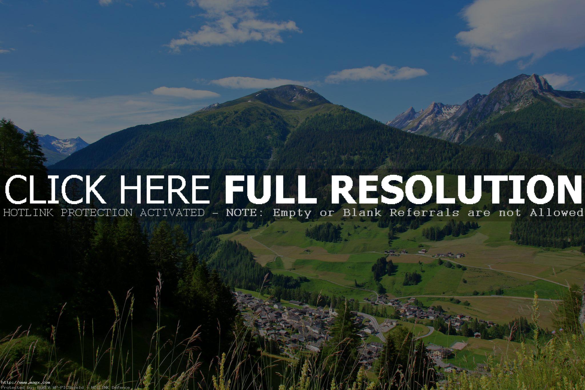
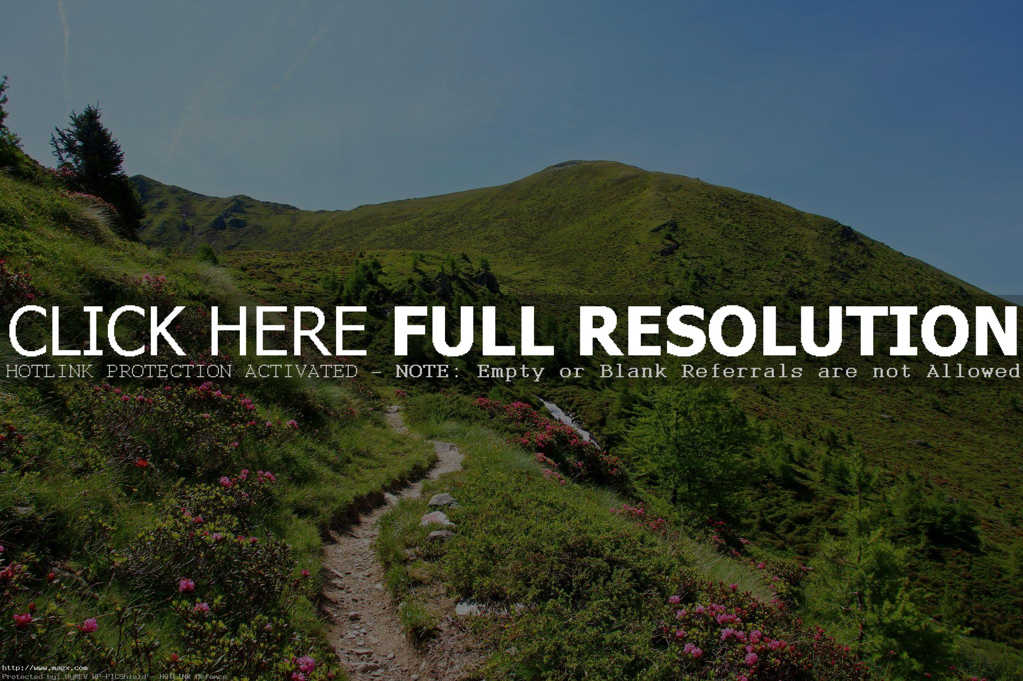
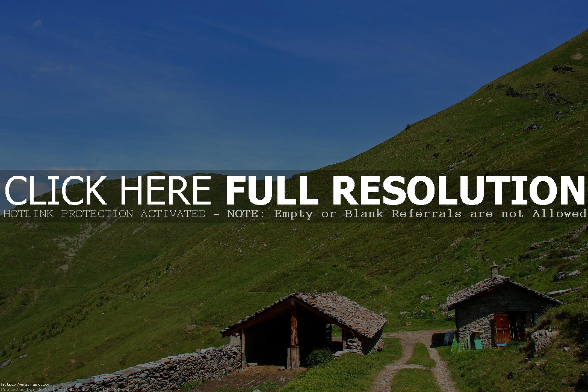
La Vuardette is a 2,463 m mountain peak near Orsieres, Valais, Switzerland. The nearest peaks are Pointe du Parc, Pointe de Terre Rouge, Pointe de Toules, Mont Rogneux, Grand Laget, and Pointe de Boveire.


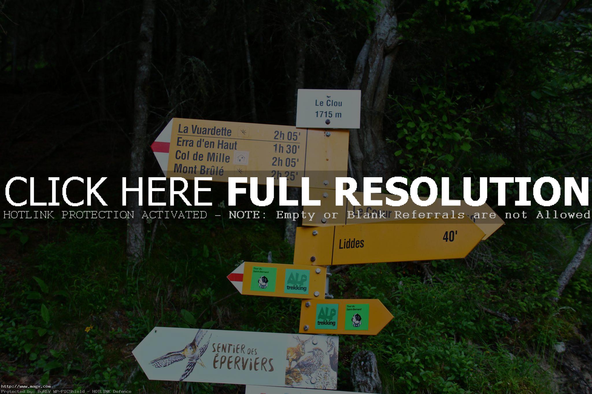

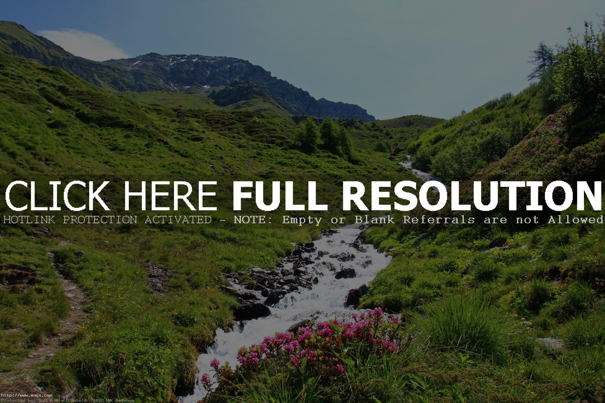

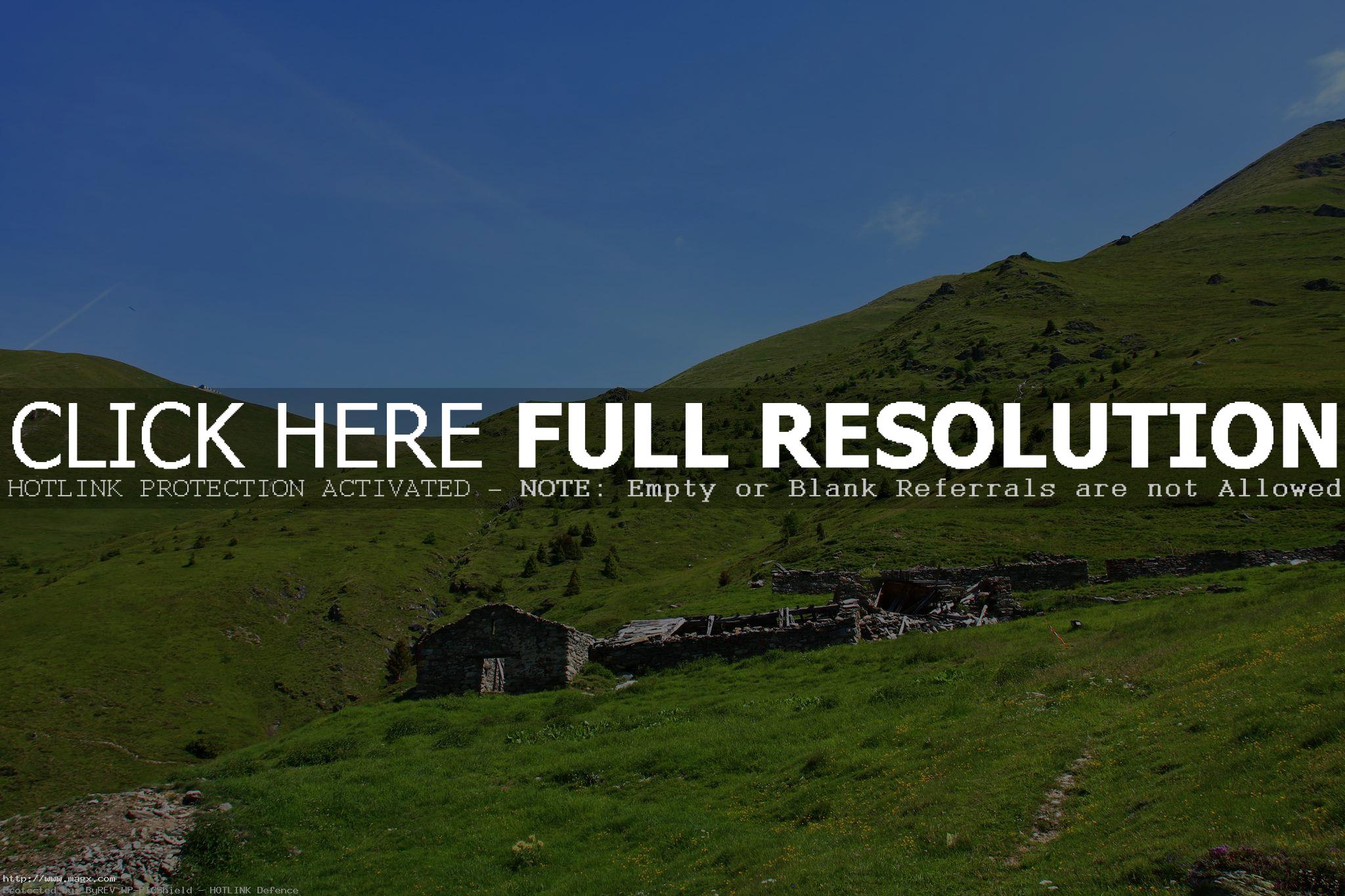
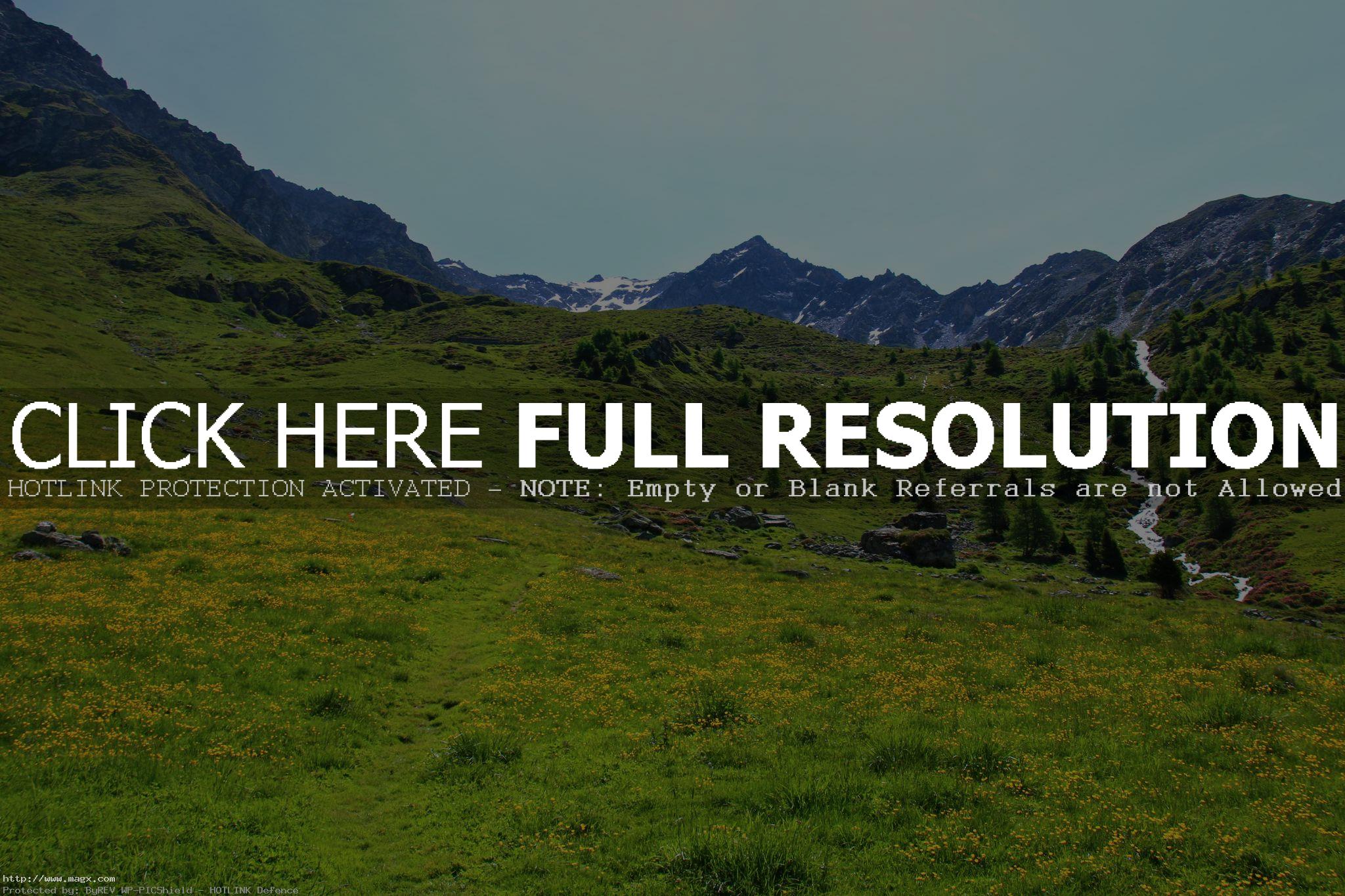



credit: rouilleralain
Tags: alps, foothill, grassland, hiking, Hill, landscape, Mountain, mountain ridge, mountainside, outdoor, Valais, Vuardette
Relevant Articles
Rawson Lake is an incredibly beautiful, jade, alpine lake buried in the mountains above the south side of Upper Kananaskis Lake in the shadow of 10,414 ft, (3,174 m) Mount Sarrail. It is located approximately 160km south west of the city of Calgary in Peter Lougheed Provincial Park Kananaskis Country. You can get some amazing photos of the entire length and breadth of Rawson Lake. If the Mountains surrounding the lake are covered in snow do not continue to hike around the lake because there is a risk of avalanches.


credit: davebloggs007
Tags: Alberta, Canada, canada hiking, hike, hiking, Kananaskis, Kananaskis country, Lake, Rawson, Rawson lake
Relevant Articles


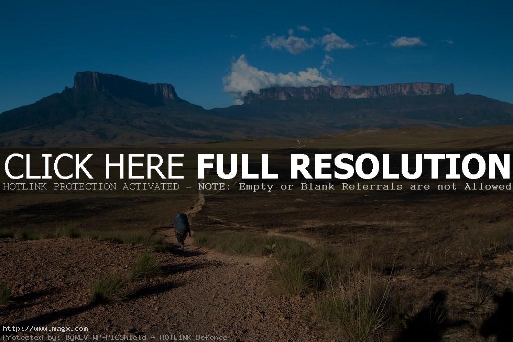
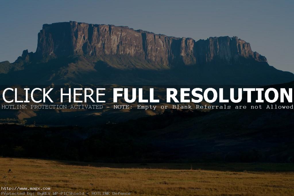
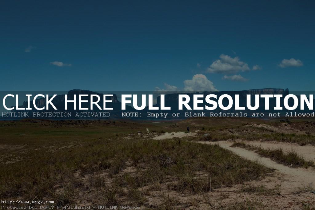
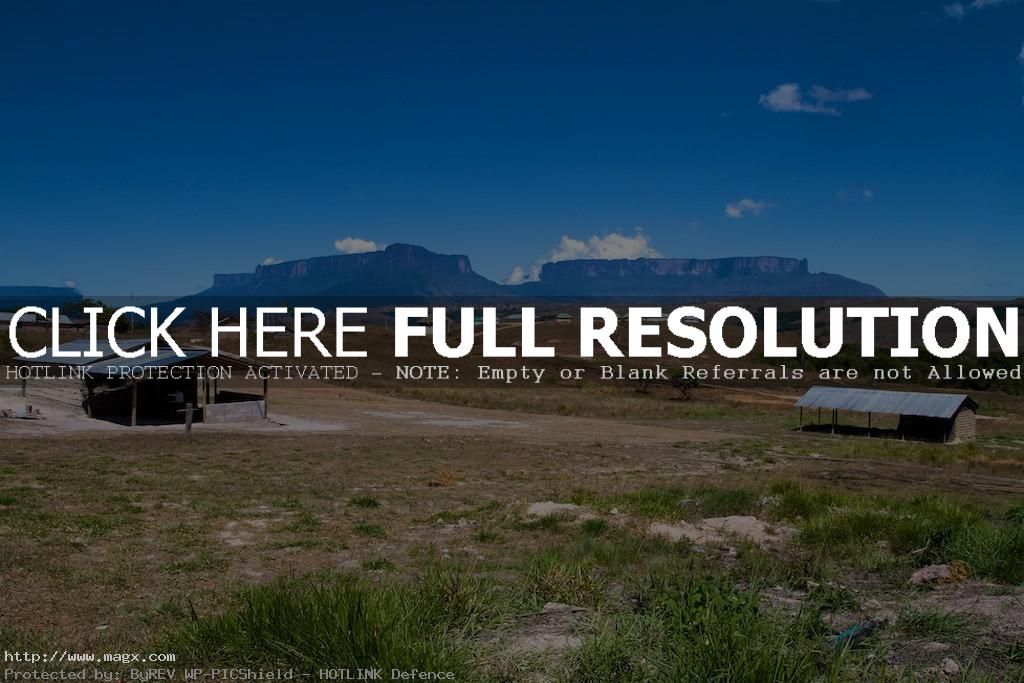
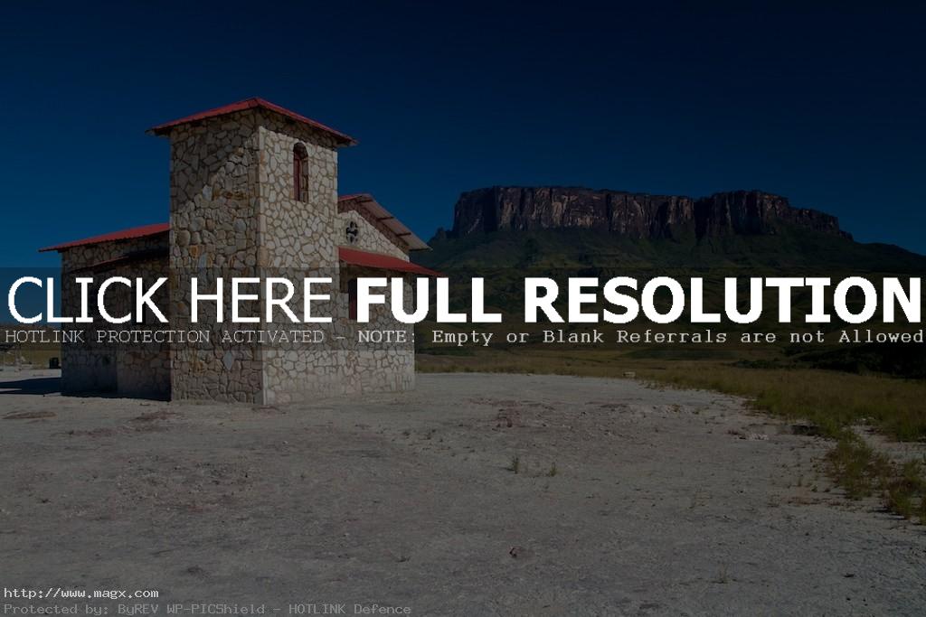
Mount Roraima is one of the oldest mountain formations on Earth, a natural border between Venezuela, Brazil and Guyana in South America. It is around 2,800 metres tall. Its name is derived from Roroi-ma, which in Pemon means ‘big blue-green.’ The only way visitors can climb to the top is from the Gran Sabana side, in Venezuela. With sheer 400-metre high cliffs on all sides this is only one ‘easy’ way up. On the top of the mountain it rains almost every day, washing away most of the nutrients for plants to grow and creating a unique landscape on the bare sandstone surface. Arthur Conan Doyle populated the tepui Roraima with dinosaurs, strange vegetation and animals in his book, The Lost World, probably the best adventure novel of all times.


credit: Paulo Fassina
Tags: Angel Falls, Arthur Conan Doyle, Brazil, Cerro Roraima, Guyana, hiking, Lost World, Mount, mount roraima, Pakaraima chain, Roraima, South America, tepui plateau, Venezuela
Relevant Articles
Beautiful Brasstown Bald, rising 4,784 feet above sea level, is Georgia’s highest mountain. Hike a steep half mile from the parking lot to the top of the mountain, where there’s an observation deck and visitors center. 360-degree view from atop the mountain allows you to see four states, Georgia, Tennessee, North Carolina, and South Carolina. Brasstown Bald was so named because of confusion between the Cherokee words itse-yi, meaning “new green place,” and untsaiyi, meaning “brass”. It is located in the Chattahoochee-Oconee National Forest, and it is a great place to visit and bring family.


credit: ben_g
Tags: 4.784, Appalachians, Bald, brass town bald, Brasstown, brasstown bald, Brasstown Bald Mountain, brasstown valley, climbing, ft., Georgia, Highest, hike, hiking, hiking and climbing, Mountains, point, USDA Forest Service
Relevant Articles


 Spectacular Mesa Verde National ...
 Hike in Tongariro National Park,...
 Yosemite National Park 2016
 Saguaro National Park, USA
 Landscape of Snowdonia National ...
 Valmasque River in Mercantour Na...
 Sandia Peak – Longest Aeri...
 Dobbins Lookout on South Mountai...


 John Barrowman at Phoenix ComicC...
 ACS Mountain Trek 2013 – H...
 Byodoin Temple Buddhist Pure Lan...
 Best Wallpapers of Patagonia, So...
 Brasstown Bald – The Highe...
 Panticosa Surrounded by Majestic...
 Hiking in Mount Roraima
 Algonquin and Arrowhead Ontario ...


 The Valleys near the Toubkal
 Legendary Southfork Ranch
 Tonis Zoo in Rothenburg near Luz...
 The Charming Berchtesgaden


 Lake Ingalls Trail
 Clear Lake Forest Recreation Are...
 Volcanic Lake Atitlan in Guatem...
 Devils Lake State Park
 Ijen Crater – Volcanic Aci...
 Hike to Cornettes de Bise
 Erta Ale Volcano, Ethiopia


 Hiking to Rawson Lake Kananaskis...
 Hiking to la Vuardette
 Point Lobos State Natural Reserv...
 Natural Rainbow Bridge National ...
 The Most Beautiful Waterfalls of...
 Amazing Los Nevados National Nat...


 Word Extreme – Death Valle...
 Broadway Tower – The Highe...
 Magnificent Brodway Tower, Engla...
 Gorgeous Sunrise in Baily lighth...